Camptonville, California
The best trails and outdoor activities in Camptonville, California offer a unique combination of scenic beauty and challenge. The top choice among hikers is the Bullards Bar Trail, a must-visit that winds along the Yuba River, offering spectacular views of the surrounding forest and water. This trail is moderately difficult, making it suitable for those seeking a bit of a challenge. For a more relaxed outdoor adventure, the Oregon Creek Day Use Area is perfect for picnicking and swimming. If you're in for a bit of history, the nearby Malakoff Diggins State Historic Park offers trails that pass old mining sites. Whether you prefer hiking, swimming, or exploring history, Camptonville has something to offer.
Top Spots in and near Camptonville
-
Truckee, California
Backpack the Palisades Creek Trail
4.015 mi / 2200 ft gainAfter driving out to Kidd Lakes and parking at the trailhead, you take off through some easy forest hiking past Cascade Lakes and Long Lake. Pay attention to the cairns marking the trail as you traverse across a large granite section with Devils Peak to your West. The trail is easy to follow and ...Read more -
Foresthill, California
Rafting the Middle Fork American River
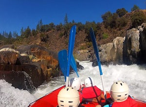
5.0The Middle Fork of the American River is a fun and full day of Class III/IV water rafting. You'll experience "Tunnel Chute". An very narrow 20 foot wide chute that drops you into gold miners tunnel. Other popular drops and rapids include, Kanaka Falls, Chunder, Bus Crash, Parallel Parking, 101 Ai...Read more -
Auburn, California
Hike around Coon Creek to Hidden Falls
4.58.4 mi / 968 ft gain--Important: 7-day a week parking reservations required until further notice during the COVID-19 crisis. Follow park social distancing measures. Learn more online, https://www.placer.ca.gov/6106/Hidden-Falls-Regional-Park -- Not far from California's capital is Hidden Falls Regional Park. The na...Read more -
Auburn, California
Hike the Seven Pools Loop & Vista
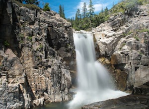
5.04.5 mi / 450 ft gainHidden Falls Regional Park is tucked way in the foothills of the Sierra Nevada, about an hour from Sacramento and a 20 minute drive off Interstate 80 and nearby the town of Auburn. Most visitors simply make a be-line for Hidden Falls and miss one of the more breathtaking trail loops that the park...Read more -
Calpine, California
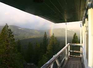
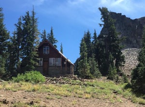
Camp at the Calpine Fire Lookout
5.0I think all explorers agree there is nothing more serene than being surrounded by nothing but wilderness. If you are one of these said explorers, a trip to Calpine's fire lookout is a must.Calpine is a forest fire lookout tower that was constructed in 1934 and is one of 3 remaining examples of th...Read more -
Auburn, California
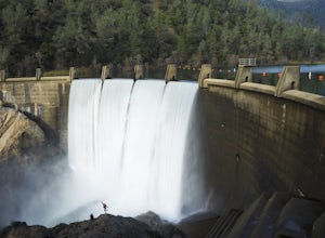
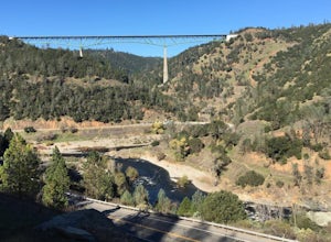
Hike to the North Fork Dam of Lake Clementine
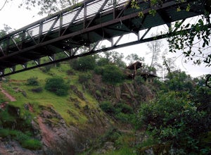
5.04 miLocated only roughly 40 minutes from Sacramento. This trail will allow you to view and walk under the 5th largest bridge in the US as well as enjoy the waterfall spectacle of a top releasing Dam. Once reaching Old Foresthill Road from the town of Auburn, drive over the smaller bridge spanning the...Read more -
Auburn, California
Hike Training Hill
4.54.5 mi / 1126 ft gainTraining Hill is a 4.5 mile loop trail that features beautiful meadows and wildflowers, with limited views to Folsom Lake and the Auburn canyon. The trail to Training Hill branches off from the Calcutta Falls trail right before the first cement bridge over the American River. Training Hill is r...Read more -
Auburn, California
Hike the Quarry Trail in the Auburn SRA
4.011 miParking in the Auburn State Recreation Area parking lot has a cost of $10.00. Free parking is allowed on the right side of the road located on the right after driving over the bridge. From here the Quarry Trail parking lot and Trail head are a short walking distance ahead on the left side of th...Read more -
Auburn, California
Rock Climb at the Quarry
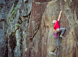
5.02.6 mi / 800 ft gainMany thanks to the Climbing Resource Advocates for Greater Sacramento (CRAGS) and the Access Fund for their hard work in re-opening this location to make it climbing-legal. Where to Park:Put in "Parking lot for the Quarry Trail, California 193, Auburn, CA 95603"This is the designated parking lot ...Read more -
Soda Springs, California
Hike to the Top of Andesite Peak
5 mi / 1000 ft gainFrom the trail map sign, follow the dirt path straight, following signs for the cross-country skiing route, not snowmobiling. Continue until you see a trail marker. You'll veer left to head over to the Hole in the Ground trail. Once you see another identical trail map board, you'll head left. Thi...Read more -
Soda Springs, California
Summit Castle Peak
4.06 mi / 1800 ft gainThe trailhead is very easy to access as it is just off Highway 80 at the Boreal Mountain exit. When taking the exit, take a turn to the North, rather than to Boreal on the South side of the Highway. On busy summer weekends this trailhead can get quite crowded so you may have to park at the bottom...Read more -
Soda Springs, California
Snowshoe to the Peter Grubb Hut
5.08 miThe Peter Grubb Hut is located below Castle Peak in Round Valley, 3 miles north of the Castle Peak trailhead near I-80. Overnight parking is available at the California Sno-Park at the Boreal-Castle Peak exit on I-80. Park on the frontage road east of the Boreal Inn and walk back under the freewa...Read more -
Soda Springs, California
Hike to the Peter Benson Hut
5.011.6 mi / 1800 ft gainDrive to the top of Donner Summit via the Old Hwy 40 and park at the Donner Summit PCT trailhead, just past the Sugar Bowl Academy Building. Begin hiking up-hill through a somewhat forested area for about 2 miles. Shortly after you pass the trail sign for the Mt. Judah Loop, you will come to a sm...Read more -
Truckee, California
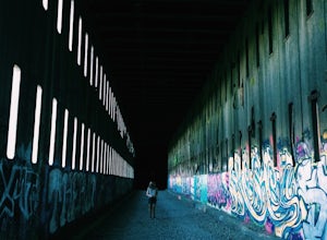
Hike the Truckee Tunnels
5.0To get here, drive along Donner Pass Rd. There is a turnoff about 100 yards away from the Donner Summit Bridge where you can park. The hike begins at a plaque for the China Wall- a large retaining wall built by Chinese railroad workers. Hike up the trail towards the tunnels. Some spots may requi...Read more -
39.333252,-120.289482
Donner Lake Rim Trail: Johnson Canyon to Trout Creek
A perfect Sunday hike on your way back from a weekend at Lake Tahoe. Exit I-80 at Donner Lake and take the dirt road on the north side of I-80 to a large parking lot. A mild climb followed by a set of tougher switchbacks leads you to great views from Donner Ridge. Although adventuring out on t...Read more -
Truckee, California
Donner Lake Public Docks
4.5In the northwest corner of Donner Lake, there are public docks run by the Truckee Donner Recreation & Parks district. It's free to lay out your towels and hang out, but there is a fee for launching boats on the ramp. Come over in the late afternoon, enjoy the sunset, and go for a swim as the ...Read more

