Montrose County, Colorado
Top Spots in and near Montrose County
-
Telluride, Colorado
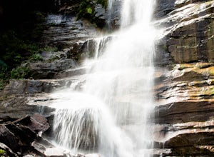
The trail begins at the south end of Pine Street in Telluride, and proceeds 2.5 miles up the Bear Creek Canyon trail with an elevation gain of about 1,000'.Be sure to stay to the left at the divide with the Wasatch Trail.At the waterfall there is a small use trail that contours up to the right an...
Read more
-
Mountain Village, Colorado
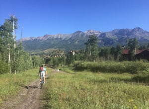
Take the Gondola from either Telluride or Mountain Village and get off at mid station. Walk up the path, pass the entrance to the bike park, and continue up the gravel road until you come upon signs for the Village Trail. It will start on the maintenance road but will quickly become a narrow path...
Read more
-
Telluride, Colorado
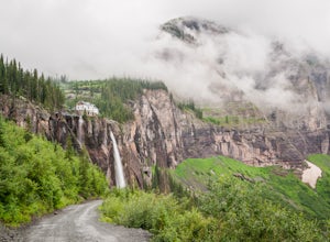
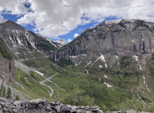
Park at the Pandora Mill just east of Telluride and lace up your footwear of choice. At 1.2 miles to the base of the falls with 850 feet of gain, this can make for a great thigh burning hike or run. The trail is a gravel road that eventually passes a gate to further trails up the Bridal Veil Ba...
Read more
-
Palisade, Colorado
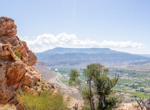
This hike is approx. 4 miles long and takes between 2.5-4 hours to complete depending on pace and stoppage time.
This hike begins at the parking lot located at the base of the trail.
Directions to Parking Lot:
- Start at the Grand Junction Visitors Center, 740 Horizon Dr, Grand Junction, CO 8150...
Read more
-
Ophir, Colorado
The Via Ferrata is an incredible way to enjoy Telluride from above. If you and your group have rock climbing experience this will be right up your alley. If no experience rock climbing there are guided options with great shops from town that will help you along this route.
Hike up to Bridal Veil...
Read more
-
Ridgway, Colorado
Bear Creek Trail, which leads to Grizzly Mine, is located just 2 miles outside of Ouray, Colorado on Highway 550 immediately following the first tunnel. There's two parking lots, a large one and a small one, the trail leads from the small parking lot over the tunnel and highway. There are no bath...
Read more
-
Ouray, Colorado
This pass is closed December through May but when opened, does not fall short of views. I drove it on opening weekend and the snow was piled high all around (pictured above) but the views were just as amazing as driving it in late summer.
Starting in Silverton, drive east on Colorado 2 through t...
Read more
-
Lake City, Colorado
5.0
7.3 mi
/ 2881 ft gain
At 14,309 feet, the summit of Uncompahgre Peak is the highest point in the entire San Juan range, but getting to it requires only good hiking skills, good physical shape, and a four-wheel-drive, high-clearance vehicle to get to the trailhead.
From Lake City, head west along the Alpine Loop about...
Read more
-
Placerville, Colorado
The mountain peak that turns blue when Coors and Coors Light bottles and cans are ice cold is real. No, it is not called Coors Peak. But it is in Colorado, where Coors was born. The snow-capped mountain in the Coors logo is really Wilson Peak near Telluride, Colorado.If you want to crack a Coo...
Read more
-
Ridgway, Colorado
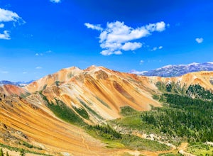
Corkscrew Gulch is named for the narrow and winding switchbacks that "corkscrewes" up Red Mountain Two. It is hard to miss this area of the San Juan Mountains, because the deep reds, oranges, and yellows blanket all three of the named "Red Mountains". The red color in the mountains is caused by o...
Read more
-
Telluride, Colorado
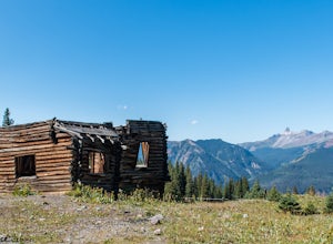
Alta Ghost Town is located about 10 miles from Telluride on Alta Lakes Road. Take the rugged dirt road approximately 2 miles until the ghost town appears on the left.
Hike up the short trail to view the remnants of the old mining town with many of the buildings still standing, including the impre...
Read more
-
Telluride, Colorado
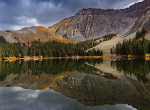
Note: Camping is permitted around the lake. There are approximately 20 undeveloped campsites. For more information, head to the US Forest Service website.
Camping Facilities20 campsites that are completely undevelopedCamping is permitted at only the designated campsitesPortable toilets are avail...
Read more
-
Ridgway, Colorado
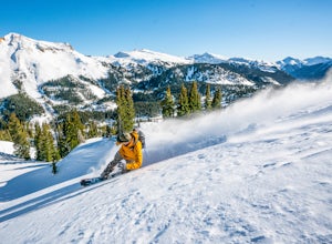
Red Mountain Pass is the site of an historic silver mining boom from 1882 to 1893. During that time, over 10,000 people lived at over 11,000 feet! Today, it's turned into a backcountry ski and snowboard touring destination.
If you are coming from the North, you'll pass through the gorgeous box-c...
Read more
-
Telluride, Colorado
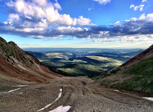
Black Bear Pass (el. 12,840’), officially known as Forest Service Road 648, is an infamous 4WD road that runs between U.S. Highway 550 (between Silverton & Ouray) and Telluride, CO. From the pass downhill through the Ingram Basin to Telluride, the road is one-way and features switchbacks and ...
Read more
-
San Miguel County, Colorado
4.2
2.39 mi
/ 138 ft gain
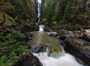
I've been visiting Telluride, CO for the last 20 years, and I'd never once heard of this place. Mystic Falls is not marked on any map I've ever seen. And even some locals seem to have never heard of it. So I feel like I lucked out on this last trip to Telluride when a friend found a blog post and...
Read more
-
Somerset, Colorado
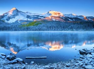
Lost Lake Slough offers camping, hiking, photography, kayaking, and more in a remote and beautiful part of Colorado. At an elevation of over 9,600 ft., the lake typically opens in mid-June after the snow is melted, and closes in October after the first significant snowfall. The campground is on...
Read more

