Kentucky
Looking for the best hiking in Kentucky? We've got you covered with the top trails, trips, hiking, backpacking, camping and more around Kentucky. The detailed guides, photos, and reviews are all submitted by the Outbound community.
Top Hiking Spots in and near Kentucky
-
Mammoth Cave, Kentucky
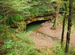
Hike the River Styx Spring Trail
4.51.2 mi / 250 ft gainStarting from the Mammoth Cave Visitor's Center, take the "Historic Entrance" trail that descends down the hill between the Visitor's Center and the Mammoth Cave Hotel. After 0.2 miles you will reach the historic entrance of Mammoth Cave on your right side. You cannot go in the cave without a gui...Read more -
Lancaster, Kentucky
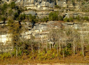
Hike to the Kentucky River Palisades
5.02.4 mi / 500 ft gainThe Tom Dorman State Nature Preserve is maintained by the Nature Conservancy and one of a few preserves in the Kentucky River Palisades ecosystem. The Kentucky River Palisades loop trail leaves from the 8-car parking lot from both directions and follows an old stage coach trail. There are a few ...Read more -
McKee, Kentucky
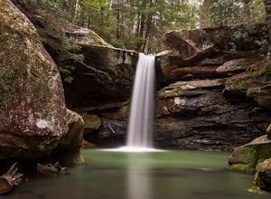
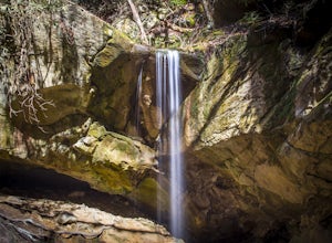
Explore Flat Lick Falls
5.00.5 miThe hike begins at the parking area, just before the restrooms. Following a short, paved path will bring you to a small overlook of Flat Lick Falls. While this overlook is nice, the real treat comes when you venture to the base of the falls. Look for a small dirt path to the right of the overlook...Read more -
Beattyville, Kentucky
Climb at the Motherlode in Red River Gorge
1.2 miThese directions are similar to those marked in the Red River Gorge Climbing Guide. Be sure to pick one up at Miguel's Pizza or elsewhere to get a good idea of where all of the crags and climbing routes are. This adventure is to the Volunteer Wall and The Gallery crags. The parking lot is marked...Read more -
Pineville, Kentucky
Hike to Honeymoon Falls at Pine Mountain State Resort Park
4.03 mi / 270 ft gainThe trail to Honeymoon Falls is located in Pine Mountain State Resort Park in Pineville, Kentucky. To reach the trail park in the parking lot in front of the park lodge. Walk towards the lodge and you'll see signs pointing you in the direction of the trails. It is located just behind the lodge. ...Read more -
Park City, Kentucky
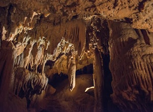
Tour the Diamond Caverns
0.5 miOne of the main reasons we chose the Diamond Caverns tour vs The Mammoth Caves tours, is we could use flash when taking pictures. Our kids were very excited to tour the caves and take pictures of them. When we found out that the Mammoth Caves does not permit flash photography, we decided to tour ...Read more -
Campton, Kentucky
Hike Rock Bridge Loop to Pooch Turtle Falls and Turtle Back Arch
5.05 miExtend your Rock Bridge Loop and explore more areas of the Clifty Wilderness Area of Daniel Boone National Forrest. From Rock Bridge Loop (#207) take Swift Camp Creek Trail (#219). Along the way catch views of Hell's Kitchen over the steep drop-off on the right-hand side of the trail. Half way ...Read more -
Parkers Lake, Kentucky
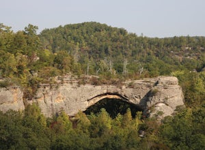
Hike to Natural Arch in Daniel Boone National Forest
1 mi / 300 ft gainNatural Arch is located in the Daniel Boone National Forest near the border of Tennessee and Kentucky. Once you get inside of the park there are many picnic tables and other areas to eat and sit and paths to walk on. The main attraction of the park however is the 100 foot wide arch that spans ove...Read more -
Sky Bridge Loop - Trail #214, Kentucky
Hike Sky Bridge Loop
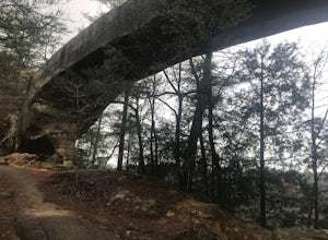
0.9 mi / 300 ft gainThe trailhead parking lot is located just off of KY 715. If coming from the North you will cross the Red River at Osborne Bend and continue up the steep hill until the very top. The parking lot access road is in a hairpin curve at the top of the hill. It is marked very well with signs so it is ve...Read more -
1091-1111 Elklick Road, Kentucky
Hike to Hickory Flats Firetower
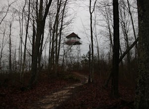
5.01.2 mi / 435 ft gainTo find the starting point navigate straight to the marker pin. At the end of the paved road, a gravel road will start. Just a couple hundred feet up the gravel road on the left there is a gate. Park infront of the gate (not in the road). Vehicles are not permitted but the Daniel Boone National F...Read more -
Bowling Green, Kentucky
Visit Lost River Cave
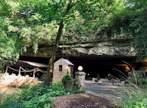
4.51.1 mi / 110 ft gainIn the last 200 years, Lost River Cave has been used as a site for mills, a camp for Civil War soldiers, and a nightclub. Its history goes back many years before that—thousands in fact. Prehistoric nomadic Native American tribes used the cave for shelter and water as they hunted this valley. The ...Read more -
Williamsburg, Kentucky
Pinnacle Knob Fire Tower
5.01.46 mi / 105 ft gainThe trial-head for this hike had a very small parking area but there is some extra parking on down the road where you can park then walk to the start. The trail starts relatively flat with a small incline. As you go on it climbs slowly until you reach the steps that start the accent. There are ab...Read more -
Wellington, Kentucky
Rock Climb Foxfire at the Red River Gorge
Directions to Eagle Point Buttress from the Shell gas Station.Head west on KY-15 for 1.6 miles then turn left onto KY 77. Stay on KY-77 for 5.1 miles. While you are on this road you will go through a oneway tunnel so be careful of cars coming out from the other side. Once you cross a bridge over ...Read more -
Mammoth Cave, Kentucky
Hike to Sunset Point
5.00.3 mi / 0 ft gainThis small hike is inside of the Mammoth Cave National Park is well know and provides a great place for small kids and is handicap accessible. The pathway itself is a flat boardwalk and is only about .3 of a mile. It features beautiful views of the mountains and lots of wildlife. The hike is also...Read more -
Rogers, Kentucky
Rock Climb Tectonic Wall in Muir Valley
Directions to Muir Valley (from Miguel's Pizza)Drive south on KY 11 for 6.3 miles. Turn left onto KY 715. Stay on this road for 2.7 miles. Turn right onto road 2016. Stay on this road for 1.4 miles. Keep an eye out for a carpet store on your right. Once you pass the carpet store, the road will st...Read more -
Rogers, Kentucky
Rock Climb Bruise Brothers in Muir Valley
Directions to Muir Valley (from Miguel's Pizza)Drive south on KY 11 for 6.3 miles. Turn left onto KY 715. Stay on this road for 2.7 miles. Turn right onto road 2016. Stay on this road for 1.4 miles. Keep an eye out for a carpet store on your right. Once you pass the carpet store, the road will st...Read more

