Heron, Montana
Looking for the best photography in Heron? We've got you covered with the top trails, trips, hiking, backpacking, camping and more around Heron. The detailed guides, photos, and reviews are all submitted by the Outbound community.
Top Photography Spots in and near Heron
-
Heron, Montana
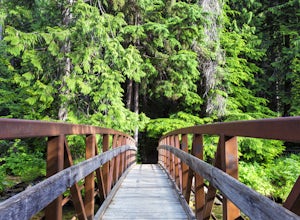
Ross Creek Cedars Loop
5.00.87 mi / 151 ft gainThe Ross Creek Cedar area is a really cool area in Northwest Montana that houses some monstrous Western Red Cedar Trees (some of which have a diameter of over 12 feet and over 500 years old!). The grove is one of the few in the area that still has some really beautiful old-growth forest. Due to i...Read more -
Shoshone County, Idaho
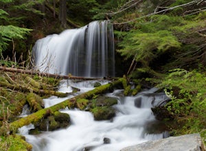
Shadow and Fern Falls
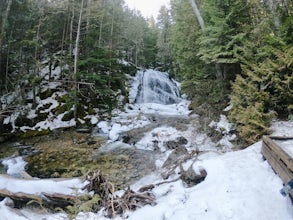
4.70.76 mi / 233 ft gainSee both Fern Falls, just 0.2 mile from the parking lot, and Shadow Falls (20-25 ft tall), a beautiful cascade among moss-covered rocks. A footbridge takes you behind the falls, as well. These waterfalls are best photographed in the early morning hours or at dusk and twilight, before the sun has...Read more -
Libby, Montana
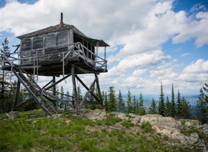
Hike to Kenelty Mountain Lookout
10.1 mi / 3502 ft gainStarting from Kalispell, take Hwy 2 west towards Libby. Follow the highway for 62.5 miles until mile marker 57 and turn right in 0.3 miles on to a cut across road for 0.3 miles. Take a left on to Road 763 and follow this road for 3.4 miles and take a right on to an unnamed road for 1.8 miles and ...Read more -
Troy, Montana
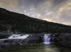
Kootenai Falls and Swinging Bridge
5.01.59 mi / 200 ft gainKootenai Falls is accessed via short dirt trail from the parking lot on Highway Two between Troy and Libby. In the summer the parking lot is often full and even has some vendors selling objects and food. The trail is easy to follow and winds through the forest before descending towards the rive...Read more -
Sandpoint, Idaho
Hike the Mickinnick Trail
5.07 mi / 2150 ft gainThe trailhead for this hike starts in a city park, so if you have dogs, they'll need to be on leash to start out. You won't have to walk very far before reaching a gate that separates the city park from US Forest Service area. Past this gate, leashes are not required for your four-legged friends ...Read more -
Wallace, Idaho
Hike the Pulaski Tunnel Trail
5.02 mi / 800 ft gainJust outside of the town of Wallace, this trail is made for both the hiker and history buff alike. In 1910, the Northwest was experiencing one of the worst droughts on record. Numerous small fires were burning across Montana, Idaho and Washington. However on August 20th, 80 mile per hour gale for...Read more -
Mullan, Idaho
Hike to Stevens Lakes
5.05 mi / 1780 ft gainTo get to the trailhead, drive east on I-90 to Lookout Pass. Turn right into the pass parking lot and continue on the railroad grade dirt road for approximately 6 miles. You will pass several trailheads, but continue on until you reach a fork in the road and a sign for the Stevens Lakes trailhead...Read more -
Coeur d'Alene, Idaho
Hike Mineral Ridge
4.23.3 mi / 1000 ft gainWander through a classic Inland Northwest pine tree forest as you climb up to Mineral Ridge. At the top, explore historical Caribou Cabin and take the spur trail to the left to an abandoned mine. There is a lot of history scattered on this short loop hike! Continue past the cabin and take in v...Read more -
Coeur d'Alene, Idaho
Tubbs Hill
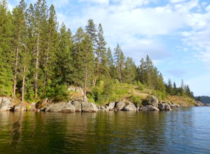
4.52 mi / 325 ft gainLooking for a short adventure hike on a road trip or a beach to hang out at for a weekend? Tubbs Hill features a 2 mile loop trail that winds along the shoreline of Lake Coeur d'Alene and through an Inland Northwest pine forest. You will see wildlife such as deer, squirrel, and many wildflowers...Read more -
Bonners Ferry, Idaho
Snow Creek Falls
5.01.37 mi / 161 ft gainThe out-and-back trail to Snow Creek Falls is relatively easy with about 160 feet over elevation gain over roughly a 1.5 miles. Plan on approximately 45 minutes trail time roundtrip. There is a parking area in the pull-out just off the road. This is both a dog-friendly and kid-friendly trail.Read more -
Saltese, Montana
Ride the Route of the Hiawatha
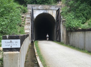
4.715 mi / 1000 ft gainLocated on the Idaho Montana border, this highly popular "rails to trails" mountain bike trail was modified from the Milwaukee Railroad route through the Bitterroot Mountains. This trail contains 10 tunnels and 7 trestles throughout 15 miles of beautiful mountain views.Riders have the option to s...Read more -
Naples, Idaho
Roman Nose High Mountain Lakes
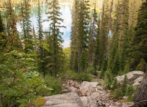
5.04 mi / 604 ft gainYour journey will start with a rural drive about 60 minutes from Sandpoint, ID. Once you hit the dirt road, hold on because its quite the bumpy drive (AWD vehicle is recommended). You will continue on a dirt road for nearly 20 miles, however, don't let this halt your journey, the drive is incredi...Read more

