Boonton, New Jersey
Looking for the best hiking in Boonton? We've got you covered with the top trails, trips, hiking, backpacking, camping and more around Boonton. The detailed guides, photos, and reviews are all submitted by the Outbound community.
Top Hiking Spots in and near Boonton
-
Sussex, New Jersey
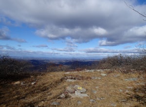
Camp at High Point State Park
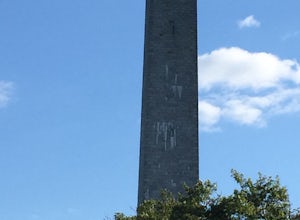
4.0You'll need at least a weekend to sample all that High Point State Park has to offer. One of the park's must-do hikes is to High Point Monument (1,803 ft), where you have panoramic views of the Pocono and Catskill Mountains, and the Wallkill River Valley. Additionally, there are 50 total miles of...Read more -
Matawan, New Jersey
Cheesequake Yellow and Blue Loop Trail
4.03.43 mi / 328 ft gainCheesequake Yellow and Blue Loop Trail is a loop trail that takes you by a lake located near Old Bridge, New Jersey.Read more -
Dingmans Ferry, Pennsylvania
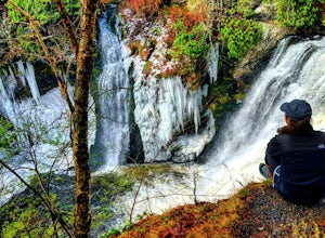
Hike to Indian Ladder Falls Along Hornbecks Creek
3.52 mi / 400 ft gainFor some time, the trail was eroded above the first falls on Hornbecks Creek, not allowing hikers to access the creek's upper falls if they were coming upstream from Route 209. I am writing this in June 2017 and that is no longer the case! You can hike from Rt. 209 all the way up the creek to Eme...Read more -
Briarcliff Manor, New York
Hike Kate Kennard Trail
1.8 mi / 140 ft gainIf you’re in the town of Briarcliff and looking for an easy local trail to try out, Kate Kennard Trail is good for getting in a quick run or walk. It’s a straight line path the whole way. You’ll know you’ve reached the end of the path when you see a sign that marks the beginning of a road leading...Read more -
Monroe, New York
Hike the Jessup/Highlands/Long Path Trails
7.8 mi / 500 ft gainThis trails starts at a small park in Woodbury called Gonzaga Park. Closed from mid-November to April, you are still able to park just outside the gate if that is the time of year you are hiking. Three different trail names share this path. The Jessup trail starts/end at Gonzaga Park and trave...Read more -
Dingmans Ferry, Pennsylvania
Explore Dingmans Falls
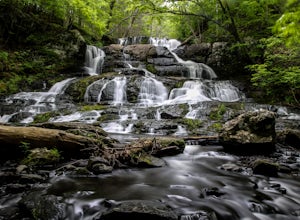
3.80.4 miThe waterfall is about 0.2 miles into the hike. I would recommend going to the very top of the biggest waterfall towards the end of the hike, there are steps leading up to it! There's also a hidden water hole at the very top of the waterfall about 0.2 miles up stream, I saw people in it during th...Read more -
Bushkill, Pennsylvania
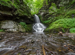
Bushkill Falls Loop
3.81.89 mi / 331 ft gainBushkill Falls offers visitors a choice of 4 different trails to explore. All trails are very well maintained, making this trip safe for the whole family. The most rewarding trail is the Red Trail. This route brings you to all 8 of Bushkill's waterfalls. Taking the trail counter-clockwise, you w...Read more -
Milford, Pennsylvania
Explore Raymondskill Falls
4.00.6 mi / 178 ft gainThis waterfall is just a short walk away from the main parking lot.Just a .30 mile hike will take you to a gorgeous three-tiered waterfall. There are platforms providing viewing areas to the falls.Raymondskill Falls is located in the northern portion of the Delaware National Water Gap Recreationa...Read more -
Milford, Pennsylvania
Hike to Cliff Park Ridge
5.06.4 mi / 700 ft gainThis 6.4 mile out-and-back trail (2.7 miles each way) is an excellent trail for those looking to spend an early morning or afternoon outside without the strenuousness of all-out mountain hiking. Throughout the entire hike, there is only 700 ft. of elevation gain. Don't let this turn you away if y...Read more -
Dingmans Ferry, Pennsylvania
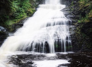
Explore George W Child's Park
4.01.4 mi / 144 ft gainOnce parked, enter the trailhead and follow the trail down Dingmans Creek to the first set of falls. Try taking pictures from off the trail to the right of these falls. Continue on to the second waterfall and again step off the trail to take pictures from the right side of the waterfall, if you d...Read more -
Bear Mountain, New York
Hike Bald Mountain, Bear Mountain State Park
4.76.8 mi / 1080 ft gainFrom your starting point at the Bear Mountain Inn, go left along the Cornell Mine Trail. (This part can be a bit confusing, but go past the carousel to a shaded picnic area; that is where the trail starts.) You will go under a bridge and follow the trail until it takes a sharp left and descends t...Read more -
Highland Falls, New York
Popolopen Torne
4.51.18 mi / 531 ft gainPopolopen Torne is a hidden gem in the Hudson Valley, a surprisingly unknown trail with a beautiful payoff and a far deeper meaning. A short hike to the top puts you at the foot of a memorial to those who have served their country, a pile of painted rocks carried up by those who want to pay their...Read more -
Columbia, New Jersey
Hike the Mount Mohican-Raccoon Ridge Traverse
7.5 mi / 1500 ft gainThis point to point hike can be done in either direction. There is parking at the entrance to Worthington Campground. Cross Old Mine Road and start up the Garvey Spring Trail (orange markers). The trail passes Laurel Falls on the right then ascends steeply until you reach an old forest road. The...Read more -
Cortlandt, New York
Hike the Camp Smith Trail
4.55.92 mi / 1759 ft gainThis approximately 3-hour hike borders the Hudson River, and is one of the best in Westchester County. Start off at the parking area at the Bear Mountain Tollhouse, or at a small parking area farther up Bear Mountain Road, if you want a slightly shorter hike. The trail is fairly steep in places, ...Read more -
Philipstown, New York
Anthony's Nose via Appalachian Trail
4.61.95 mi / 682 ft gainParking for the trail runs along both sides of 9D right up until the Bear Mountain Bridge. It can be busy on the weekends so just make sure you're as far off the road as you can and be especially careful unloading kids and dogs. The trailhead is located at approximately 41.322571, -73.975949 and ...Read more -
Rye, New York
Hike the Marshlands Conservancy Loop
4.01.55 mi / 125 ft gainLocated along the Long Island Sound, this 147-acre conservancy is home to a plethora of different birds, including marsh wrens, seaside sparrows, and American woodcocks. The conservancy has 3 miles of trails, all easy to navigate. Starting out from the visitor's center, take the trail to the rig...Read more

