Waterville, Pennsylvania
Looking for the best hiking in Waterville? We've got you covered with the top trails, trips, hiking, backpacking, camping and more around Waterville. The detailed guides, photos, and reviews are all submitted by the Outbound community.
Top Hiking Spots in and near Waterville
-
Mifflinburg, Pennsylvania
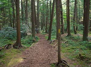
Stroll along the Rapid Run Nature Trail
1.09 miThere are multiple ways to access and start the trail, there is a small parking area near the intersection of McCall Dam Road and Route 192 or you can access from the other end near the beach at Halfway Lake. The trail is well marked with yellow blazes and easy to fall. This is a simple hike, b...Read more -
Wellsboro, Pennsylvania
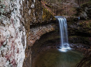
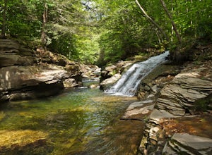
Explore the Waterfalls at Campbells Run
1.5 miIn order to access Campbells Run, park at the Tiadaghton Pine Creek Rail Trail parking. There are restrooms at this parking lot. The road in does not have winter maintenance and is steep in places. From the parking walk back the rail trail to Campbells Run which comes out between two cabins, a sm...Read more -
Williamsport, Pennsylvania
Hike Smith's Knob Hike via the Loyalsock Trail
5.08.3 mi / 1400 ft gainSmith's Knob is a short, but fairly challenging section of the overall Loyalsock Trail. Smith's Knob has a distinctively round peak, and viewed from Rider Park, sticks out to all very easily. The trail starts off very steep, and will require some effort right away. However, it soon becomes more o...Read more -
Wellsboro, Pennsylvania
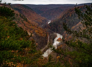
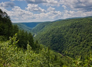
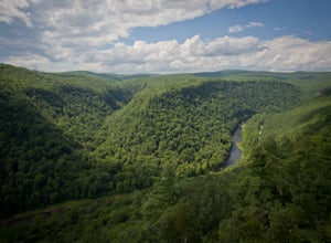
Grand Canyon of Pennsylvania Overlook Trail
1 mi / 430 ft gainGrand Canyon of Pennsylvania Overlook Trail is a loop trail that takes you through a nice forest located near Wellsboro, Pennsylvania.Read more -
Wellsboro, Pennsylvania
Turkey Path
4.31.72 mi / 748 ft gainThis is a fairly steep trail with many switchbacks, which makes it an easy hike down and a tough one back. But don't worry there are bridges and stairs to help you out. It is also family friendly, but make sure you plan on taking on the added weight if you have young children with you. We went wi...Read more -
Wellsboro, Pennsylvania
Hike Leonard Harrison SP's Overlook Trail to Otter View
4.30.6 miThis is a simple .6 mile trail that starts around the bathrooms and loops past Otter View.The trail itself is an easy hike. Otter View is a great spot for a family hike. By the bathrooms are different spots to get amazing views. The upper level is handicap accessible and there are steps down to a...Read more -
Wellsboro, Pennsylvania
Barbour Rock Loop
2.64 mi / 331 ft gainThe parking can be found along Colton Road heading toward Colton Point State Park. There is a large sign opposite the parking and the trail is a wide gravel path through the woods. It is 0.7 miles walk on the path to the vista suitable for anyone. You then have the option to head back or create ...Read more -
Wellsboro, Pennsylvania
West Rim Trail
4.027.97 mi / 4065 ft gainHiking north to south, the trailhead is just off of Colton Road at a gravel parking lot with bathrooms. The trail is marked with orange blazes and has the largest elevation gain at the beginning and then has relatively moderate elevation change throughout the remainder of the hike. At 2.6 mile...Read more -
Williamsport, Pennsylvania
Backpack the Old Logger's Path
5.027 miThe Old Logger's Path follows abandoned logging roads in a loop through the Loyalsock State Forest. There are multiple places to join the trail, but most people start in the ghost town of Masten, PA.Highlights include Rock Run, noted by many as the most beautiful steam in Pennsylvania. Vistas alo...Read more -
Trout Run, Pennsylvania
Old Loggers Path
4.027.24 mi / 3698 ft gainOld Loggers Path is a loop trail that takes you by a waterfall located near Ralston, Pennsylvania.Read more -
Williamsport, Pennsylvania
Rough Hill Trail
1.94 mi / 663 ft gainAccess to Rough Hill Trail is easy to locate, it is the same parking as Sandy Bottom Access to the Loyalsock Creek and there is a large sign at the turn off on route 87. Once you are in the parking area, there is clear signage for the trail and it is blazed yellow initially following back past ...Read more -
Coudersport, Pennsylvania
Camp at Cherry Springs State Park
4.61 miCherry Springs State Park was my first ever International Dark Sky Park and it stole my heart, and I promise it will steal yours too.The park itself is very quaint, but don't let it's size deter you! The park is still as remote and wild as it was nearly two centuries ago, and that's nearly imposs...Read more -
Hillsgrove, Pennsylvania
Hike to Mill Creek Falls in the Loyalsock State Forest
4.00.5 miThe Loyalsock State Forest is full of beautiful waterfalls and Mill Creek Falls is one of them. The 12 foot high falls is one of the smaller falls in the forest, but is still worth a visit as it sits in a beautiful grotto and contains a scenic plunge pool. I've also never seen another person in m...Read more -
Muncy Valley, Pennsylvania
Gipson Falls
1 miGipson Falls is the other waterfall on Falls Run just off the Loyalsock Trail. There is a parking area for the Loyalsock Trail on Brunnerdale Road just off of Ogdonia Road. From the parking follow the Loyalsock Trail along the run for about .5 miles, once the Loyalsock Trail turns right and he...Read more -
Muncy Valley, Pennsylvania
Angel Falls
4.02.9 mi / 771 ft gainThis is a moderate hike that does involve some uphill hiking to reach the top of the plateau and some downhill hiking to reach the base of the waterfall. Angel Falls is relatively easy to find though, with the Loyalsock Trail leading to a clear side trail that takes you straight to the top of the...Read more -
Emporium, Pennsylvania
Drive Ridge Road in Elk State Forest
3 miA drive along Ridge Road will bring you to five scenic vistas looking out over remote Elk State Forest. You can drive the road and simply stop at the vistas, or you can do an out and back hike from anywhere along the road. On my last visit, I parked at the southern most vista, Square Timber Vist...Read more

