West Virginia
Looking for the best photography in West Virginia? We've got you covered with the top trails, trips, hiking, backpacking, camping and more around West Virginia. The detailed guides, photos, and reviews are all submitted by the Outbound community.
Top Photography Spots in and near West Virginia
-
Danese, West Virginia
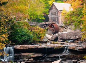
Camp at Babcock State Park
5.0Babcock State Park is one of 36 state parks in West Virginia and is located just Southeast of Fayetteville, WV. Babcock State Park has over 4,000 acres, making it a great place to camp while you explore the beautiful area. The campground has 51 campsites for tents and is open from the last week...Read more -
Fayetteville, West Virginia
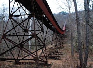
Hike Around the Trails of Nuttallburg
5.03 mi / 200 ft gain**The road to Nuttallburg is part gravel and only wide enough for one car. Take caution driving along this road-you may have to back up some if you meet another car. Nuttallburg is an old coal mining town that once thrived in the early 1900's, but fell into ruin and then was restored by the Natio...Read more -
Ansted, West Virginia
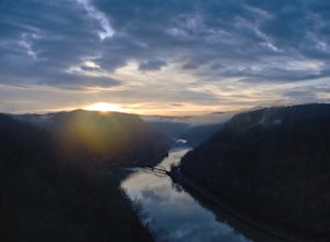
Watch a Sunrise at Hawks Nest Overlook
5.0Hawk's Nest State Park is a true gem in the New River Gorge area. It has a roadside overlook that looks out over a horseshoe bend of the New River with views of the Hawk's Nest Dam and of a railroad bridge across the river. From the parking area, simply walk about 200 feet out to the stone overlo...Read more -
Hillsboro, West Virginia
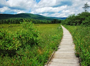
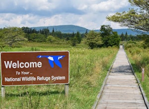
Walk Around the Cranberry Glades, Monongahela NF
4.80.6 mi / 0 ft gainFrom the parking lot, the boardwalk trail breaks off of the right side of the lot. The boardwalk loop should be done in a clockwise direction and there are signs to direct you. The 1/2 mile boardwalk offers great views of the surrounding bog and mountains. The boardwalk itself is skirted by fe...Read more -
Camp Creek, West Virginia
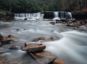
Photograph Mash Fork and Campbell Falls in Camp Creek SP
5.0Right off interstate I-77, Camp Creek State Park has two waterfalls that you can easily access: Mash Fork Falls and Campbell Falls. These falls can both have very low flows in late summer, so try to plan your visit for times of higher flows (early spring or after a rain). Mash Fork Falls is in th...Read more -
Fayetteville, West Virginia
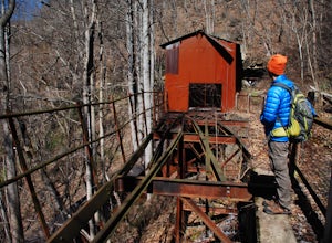
Hike to the Nuttallburg Headhouse
1.4 mi / 400 ft gainFrom Lansing-Edmond road, turn right onto Beauty Mountain Road. Go for 0.1 miles and the road will appear to split into three roads. The main road goes left, but take the middle road here. After another 0.1 miles you will arrive at a gate with a few parking spaces on the left side. Do not block t...Read more -
Davis, West Virginia
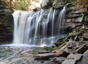
Explore Elakala Falls
3.00.4 mi / 130 ft gainStarting at the Blackwater Falls Lodge, head to the left side of the parking lot, where a trailhead becomes visible. Follow the clearly marked trail down until you reach a bridge which goes over the top of the falls. After the bridge, look for paths to allow you to get to the river level and the ...Read more -
Davis, West Virginia
Dolly Sods Wilderness North Loop via Rocky Ridge Trail
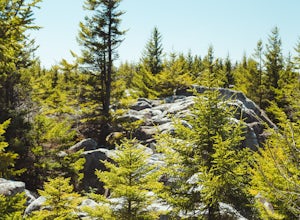
5.012.78 mi / 1378 ft gainThe hike begins at the "Dolly Sods Trailhead Parking" location easily found on Google Maps. The lot is big enough for about 6-8 vehicles. Begin walking at the end of the gravel parking lot/road for about 0.5 miles until you enter the Dolly Sods Wilderness Area in a small grassy field where sever...Read more -
Ansted, West Virginia
Turkey Creek Falls in Hawks Nest SP
0.99 mi / 26 ft gainPark in the boat ramp lot by Hawks Nest Lake. Note that the road to get down to this parking lot is a one lane (two-way traffic) steep gravel road, but it is passable with low-clearance vehicles. From the parking area take the path towards the Hawks Nest Dam, also labeled the "Fisherman's Trail...Read more -
Princeton, West Virginia
White Oak Falls via Brush Creek Falls Trail
3.69 mi / 574 ft gainThis is a wonderfully easy hike to White Oak Falls. After visiting Bush Creek Falls, keep walking down the trail. You'll enter the Bush Creek Nature Preserve area. If you visit after heavy rains, please note that your feet will get wet. There are numerous cascades that come down and cross over t...Read more -
Harpers Ferry, West Virginia
Hike Maryland Heights via Harpers Ferry
4.54.2 mi / 800 ft gainParking and trail head: Park at the Harpers Ferry Visitors Center for $10 (171 Shoreline Dr, Bolivar, WV 25425) and take the shuttle a mile and a half to lower town (free). Walk straight from the shuttle to the large bridge. Cross the bridge and take a left on the C&O Canal trail. You will s...Read more -
Hillsboro, West Virginia
Hike High Rocks
5.03.1 mi / 376 ft gainTo reach High Rocks trailhead, drive about 3.3 miles along West Virginia’s Highland Scenic Highway (HW150) from Cranberry Mountain Nature Center. The parking lot and trailhead will be on the right side of the road. The High Rocks trail is 3.1 miles out and back and is fairly flat as it follows a ...Read more -
Marlinton, West Virginia
Cranberry Wilderness North South Loop Trail
17.1 mi / 1617 ft gainThe Cranberry Wilderness is lesser known, but if you're looking for a rugged escape, this is it. Be mindful of your water intake, as there are a few stretches upwards of 6-8 miles where there is no access to fresh water. Those areas are well-known in most of the hiking blogs/guides (I'd recommend...Read more -
Davis, West Virginia
Freeland Boardwalk Trail
4.00.56 mi / 43 ft gainA free entrance and parking area for about a half dozen cars off Freeland Road features this quick adventure for all ages. The Canaan Valley National Wildlife Refuge and Freeland Boardwalk offers a variety of wildlife and environments like Ponds, Wetlands, Forests, and a natural limestone spring....Read more -
Davis, West Virginia
Bear Rocks and Beaver Dam Loop
6.36 mi / 699 ft gainStarting on Bear Rocks Trail, hike down to the Red Creek. Sometimes water levels can be high, but most of the time you can cross the creek without getting any deeper than your knees. Link up with the Raven Ridge Trail and head south. Enjoy the views through this section, as it's a great place to ...Read more -
Whitmer, West Virginia
Spruce Knob Lake Loop
4.00.96 mi / 13 ft gainSpruce Knob Lake is located just below the peak of Spruce Knob at 3,840’, making it the highest lake in West Virginia. If you are not camping in the campground, there is a parking lot/boat launch located near the dam. If you are camped in the campground, there is a trail that leads from the campg...Read more

