White Sulphur Springs, West Virginia
Top Spots in and near White Sulphur Springs
-
Summersville, West Virginia
Summersville Lake via Orange Oswald is an out-and-back trail near Summersville, West Virginia. Along the route you'll be following closely to the Gauley River and will get views of the both the river and Summersville Lake. This is a good trail if you're looking to stretch your legs and get a quic...
Read more
-
Fayetteville, West Virginia
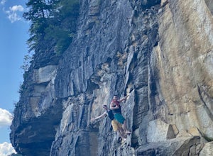
From Lansing-Edmond road, turn right onto Beauty Mountain Road. Go for 0.1 miles and the road will appear to split into three roads. The main road goes left, but take the middle road here. After another 0.1 miles you will arrive at a gate with a few parking spaces on the left side. Do not block t...
Read more
-
Fayetteville, West Virginia
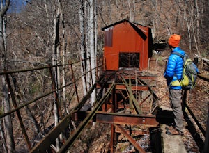
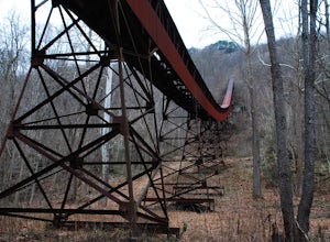
**The road to Nuttallburg is part gravel and only wide enough for one car. Take caution driving along this road-you may have to back up some if you meet another car. Nuttallburg is an old coal mining town that once thrived in the early 1900's, but fell into ruin and then was restored by the Natio...
Read more
-
Bedford, Virginia
To get to the trailhead, pull into the Peaks of Otter Visitor Center off of the Blue Ridge Parkway and park there. Proceed to the outdoor amphitheater behind the center. At the rear of the amphitheater there is a large sign showing Harkening Hill and other nearby trails, here the trail begins. Th...
Read more
-
Roanoke, Virginia
The Roanoke Mountain Road is a 4 mile one-way loop accessed at mile post 120.3 off the Blueridge Parkway. It's a winding single-lane road, and I would certainly not venture up there with a trailer. There is a large parking area at the main overlook which provides an excellent view of the sunset. ...
Read more
-
Bedford, Virginia
4.7
2.91 mi
/ 1296 ft gain
Once thought to be the highest peak in Virginia, this 2.5 hour hike is one that will leave you speechless at the top. Park at the Peaks of Otter Nature Center (which is now closed). The trailhead is located to the right of the building. You will cross over a paved bus road soon after beginning th...
Read more
-
Edmond, West Virginia
From the Fern Creek Trailhead this is a 2.0 mile out and back hike to Diamond Point. The trail is relatively flat with minimal elevation gain and has a bridge stream crossing. When you arrive at the sign stating "Climber's Access", take a short side trip here to see the views of the gorge. Contin...
Read more
-
Fayetteville, West Virginia
Kaymoor was on old West Virginia coal mining town that thrived in the early 1900's until it was abandoned in the 1950's. Along this trail you will see remnants of the old mine entrance, mining cars, a coal processing plant, and coke ovens, among other structures. This trail, although short, is qu...
Read more
-
Buchanan, Virginia
The trailhead for this hike is at the same parking area for the Flat Top Trail. From the Peaks of Otter Visitor Center, travel north up the Blue Ridge Parkway for about 3 miles, where you will come to small parking area. It is quite tiny, and probably holds around 10 vehicles, but there was only ...
Read more
-
Buchanan, Virginia
From the Peaks of Otter Visitor Center, travel north up the Blue Ridge Parkway for about 3 miles, where you will come to small parking area for the Flat Top Trailhead. The parking area is quite tiny, and probably holds around 10 vehicles, but there was only one other car there when I went. It's p...
Read more
-
Buchanan, Virginia
4.0
5.6 mi
/ 1000 ft gain
There are a few different ways that you can do this hike. One way is to start at the North Creek campground (37.54244, -79.58531) and do a loop hike that's about 6 miles, which will take you to the falls up along a stream with some swimming holes and nice campsites. I did it the other way, which ...
Read more
-
Fayetteville, West Virginia
With minimal elevation gain, this 3.2 mile hike can be done in a short amount of time. From the parking lot, take the trail to the right of the bathroom. There will be two trail intersections at 0.4 miles and 0.7 miles, both of which are well marked. Stay straight at both intersections to remain ...
Read more
-
Lansing, West Virginia
5.0
0.62 mi
/ 151 ft gain
Canyon Rim Overlook Boardwalk is an out-and-back trail that takes you by a river located near Lansing, West Virginia.
Read more
-
Roanoke, Virginia
Starting at a great spot to picnic, fish, or put in a kayak, this casual hike meanders along the Roanoke River. Along the trail you can enjoy views of some small river rapids and the beautiful trees surrounding along the river.The trail begins at a parking lot at the end of Rutrough Road. There ...
Read more
-
Natural Bridge Station, Virginia
5.0
3.24 mi
/ 1421 ft gain
Want to scale the side of a rock face? If you do, I highly suggest adding this adventure to your list. Hiking to the marbleyard and back to the parking lot will have you at a 3 mile journey. How many hours will it take to hike the trail and tackle Antietam Quartzite boulders larger than cars you ...
Read more
-
Buchanan, Virginia
The top of Apple Orchard Mountain is easily accessible via the Appalachian Trail. Access the trail at the Sunset Field Overlook at MP 78.4 on the Blue Ridge Parkway. The concrete path will end shortly and turn into a blue blazed trail. Follow this for 0.25 miles until it intersects the Appalachia...
Read more

