White Rock, British Columbia
Top Spots in and near White Rock
-
Maple Ridge, British Columbia
4.5
14.9 mi
/ 5039.4 ft gain
Day 1 Starting from the Golden Ears parking lot, your journey begins up a relatively small incline passing two bridges and entering the forest. Continue through the forest passing small cliffs and revealing some views of what you are going to climb the next day. Your estimated time it should take...
Read more
-
Maple Ridge, British Columbia
4.0
6.8 mi
/ 918.6 ft gain
If you're looking for a challenge and hope to get into the mountains this is a great adventure to set out on.Be prepared: Water, a lot of time, and with an understanding of the elevation gain will be important. This hike to the viewpoint of Alder Flats (overlooking the ears) takes around 2 hours ...
Read more
-
Maple Ridge, British Columbia
Park your car in the Gold Creek Parking lot ( at the end of the dirt road), and look for a yellow gate at the far end of the parking lot. This will be the East Canyon trail.The first part of the trail winds through the forest and you emerge on an old logging road. Follow this road along with the ...
Read more
-
Maple Ridge, British Columbia
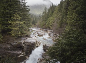
Start on the West Canyon Trail and then take a left up the View Point Trail. Along the View Point trail you’ll cross a creek. There’s a beautiful waterfall and natural hammock (a log) which is great for a quick snack spot or photo.A few hundred meters past the creek, 1.5km from the start of the...
Read more
-
North Vancouver, British Columbia
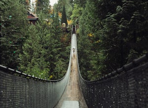
This is a great place to visit to get a feeling for the outdoors of Canada. The bridge is a little scary when a lot of people are walking across, but it is well worth the look.Measuring 140 m (460 ft) long, the bridge crosses over the Capilano River in the District of North Vancouver, British Col...
Read more
-
Vancouver, British Columbia
Located on UBC Vancouver campus, Wreck Beach is the only nude beach in Canada. It is a popular destination for students and the public, and is home to the best sunsets seen in Vancouver.To get to the beach, there is a descent of approximately 500 stairs, so be cautious - going down means having t...
Read more
-
Pender Island, British Columbia
Poets Cove Resort & Spa has hourly bike rentals available, nice for folks staying on their boats in the marina who likely don't have room for bikes. Starting from the bottom of the hill in the harbour, bike about 3 KM along Gowland Point Rd and end at the beach, a solid spot to cool down and ...
Read more
-
North Vancouver, British Columbia
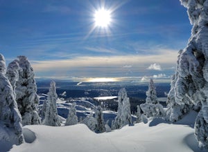
You'll see traction of all sorts in the Mt. Seymour area during Winter months, including: yak tracks, microspikes, crampons, snowshoes, skis (with and without skins), and my personal favourite, the magic carpet.The Mt. Seymour trail parallels the Seymour downhill ski area. It follows up and over...
Read more
-
Maple Ridge, British Columbia
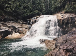
Lower Falls is found within Golden Ears Provincial Park in British Columbia. Easily accessible from the Gold Creek Parking lot, it is a relatively flat trail snaking along Gold Creek itself. It can be done as an out & back trail, or you can make it a loop by using the connector trail located ...
Read more
-
Maple Ridge, British Columbia
Once you arrive in Golden Ears Park, follow the road to the end and look for signs to the Gold Creek Day Area. The road will turn to gravel, and after you cross a small, one-line bridge, you will reach the parking lot.After you have parked, head north past the yellow gate, marked East Canyon Trai...
Read more
-
North Vancouver, British Columbia
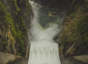
Once you park in the parking lot near the dam, its fairly easy to tell where it is, and how to get there.
The awesome spillway looks like one of the worlds most dangerous slides, (don't slide down it), and Capilano Lake and the peaks of the Lions make for a great backdrop in North Vancouver.
Ph...
Read more
-
Bellingham, Washington
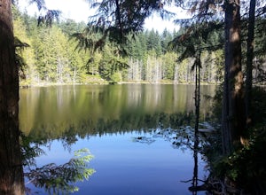
These two quaint lakes in the Chuckanuts are a must-do for people looking for a day hike, short camping trip or steep trail run in the Bellingham area. Starting at the trailhead off of Old Samish Road, one begins the 2 mile ascent to the two lakes. The first 1,400ft climb has its fair share of up...
Read more
-
North Vancouver, British Columbia
5.0
6.1 mi
/ 1263.1 ft gain
You can take the gondola up Grouse Mountain and then hike from there which roughly takes around 5 hrs at a decent pace. The hike is a hard one that is a lot of up and down and a fair bit of climbing.You can start at the top of the Skyride on Grouse Mountain, follow the paved path to the grizzly b...
Read more
-
North Vancouver, British Columbia
A 25 minute drive outside of Vancouver, Grouse Mountain is a great escape from the city for a myriad of winter activities. If you can swallow the pricey ticket for the gondola ride and accompanying activities at the top, you’ll be welcomed by spectacular views with relatively little effort. Whet...
Read more
-
North Vancouver, British Columbia
Goat Mountain is a picturesque hike that starts from the top of the Grouse Mountain Ski Resort. On a sunny, clear day, the top of Goat Mountain can offer views of Vancouver and even as far away as Mount Baker, Vancouver Island, and some of the mountain ranges in Garibaldi Provincial Park near Squ...
Read more
-
West Vancouver, British Columbia
The directions to get to this location are a bit scattered as you need to weave through the upper streets of the British Properties.
Driving Instructions If you are coming along Highway #1, take the Taylor Way exit and turn right (coming from the east) or left (coming from the west) onto Taylor W...
Read more

