Virginia
Looking for the best hiking in Virginia? We've got you covered with the top trails, trips, hiking, backpacking, camping and more around Virginia. The detailed guides, photos, and reviews are all submitted by the Outbound community.
Top Hiking Spots in and near Virginia
-
Sky Meadows State Park, Virginia
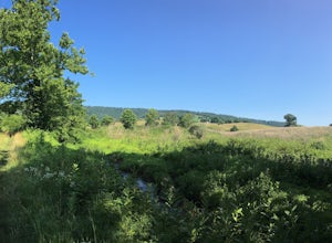
Camp at Sky Meadows State Park
5.02 miCamping at Sky Meadows State Park is a great location to backpack with young kids or if you are new to backpacking. The campground has 18 primitive walk-in campsites located 1.03 miles from the overnight parking lot at the park entrance. Reservations can be made online. After checking-in and park...Read more -
Blue Ridge, Virginia
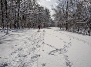
Snowshoe the Blue Ridge Parkway
3.3We don't get a ton of snow here in Virginia, but when we do, the Blue Ridge Parkway can be a great place to get out and enjoy a day of snowshoeing or cross country skiing. It's also a great opportunity to get your pup out and let him work out some energy as the chances of running into anyone are ...Read more -
Blacksburg, Virginia
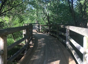
Hike the Coal Mining Heritage Park and Loop Trail
5.01 miThis is a part of the Huckleberry Trail (which is paved), but off of it is the dirt hiking/walking trail loop. It is a really fun area to explore, and the parts that are on the Huckleberry have plaques with historical information on it which is all very interesting. It also has a beautiful wooden...Read more -
Orkney Springs, Virginia
Hike Laurel Run
6.6 mi / 2100 ft gainThere are two parking spots for this trail. Park at the lower lot if the gate is closed, if the gate is open, continue up the road for another mile until you reach another closed gate. Park here. If the gate is closed you will need to hike a mile up the road to get to the trail head.From the seco...Read more -
Marion, Virginia
Hike the Lake Trail Loop at Hungry Mother SP
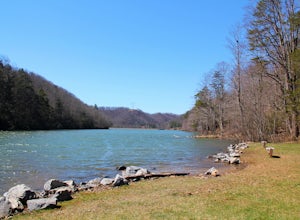
6 mi / 800 ft gainHungry Mother State Park is located in the picturesque Blue Ridge Mountains in Southern Virginia. Located inside the state park is the Lake Trail Loop that winds itself around the man-made reservoir and the park. Hikers can access the trail in numerous locations throughout the park but the easies...Read more -
Syria, Virginia
Fly Fish on the Robinson River
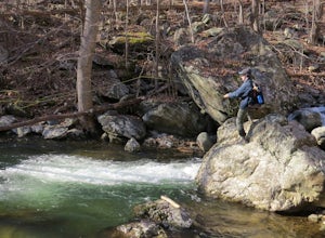
5.06 mi / 2000 ft gainThere are two sections that you can fish on the Robinson River. The first section is about 15 minutes away from the trailhead of White Oak Canyon. The river is on the right side of the road and you can see where it has bee stocked from the white diamonds on the trees on the side of the road. This...Read more -
Syria, Virginia
White Oak Canyon Cedar Run Loop
4.07.67 mi / 2257 ft gainThis route combines Cedar Run Falls and White Oak Canyon Trail (one of the more popular hikes in SNP, with separate adventures detailing those hikes). Parking is easy, but gets very crowded due to the popularity of White Oak Canyon (WOC). When starting from the parking area/Shenandoah ranger stat...Read more -
Waterford, Virginia
Hike the Historical Phillips Farm in Waterford
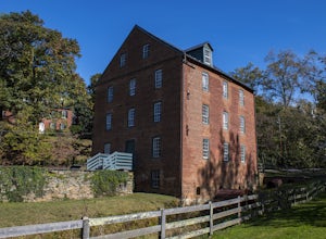
4.01 mi / 10 ft gainThis leisurely hike starts at the Old Mill at Waterford in Waterford, Virginia. You can find parking along the side of the road right near the mill. As you walk down and past the mill you'll see a fence and the beginning of the trail. This is a short, 1 mile hike and almost completely flat. If y...Read more -
Virginia Beach, Virginia
Catch A Sunset at the Munden Point Park Pier
4.00.1 mi / 0 ft gainOnce in the park, you want to make your way to the most northern section of the park for the best sunset shots. Park in front of (south) of the softball field and follow the paved bike path right in front of you. The path heads north toward the water. Walk the 200 yard long path to the pier for e...Read more -
Cool Spring Path South Parking, Virginia
Hike Cool Spring Path
4.02 mi / 70 ft gainThe Cool Spring Path South is an old golf course that has been and still is in the process of being returned to its natural state by Shenandoah University. The paved paths from the golf course make this an easy hike for anyone. For those who may be in a wheelchair, this loop should be fully acces...Read more -
Luray, Virginia
Upper Hawksbill Trail
2.09 mi / 482 ft gainThe trailhead has a small parking area at mile marker 46.7 on Skyline Drive, just past the Old Rag overlook (on the opposite side of the road) if you're driving south. The hike is a 2-mile out-and-back that takes you right to the summit. The first ~2/3 of it is relatively flat and very easy walk...Read more -
Luray, Virginia
Mary's Rock via Appalachian Trail
3.36 mi / 1214 ft gainIf you're driving south on Skyline Drive, park in the lot on the right side of Skyline Drive immediately after you cross Route 211/Thornton Gap entrance. If you're driving north on Skyline Drive, the lot will be on the left side immediately before the Thornton Gap entrance. The trailhead is at t...Read more -
Newport News, Virginia
Hike Noland Loop Trail
4.84.8 mi / 154 ft gainGreat hike right in the city of Newport News. It is a loop trail that is 4.8 miles and has a moderate level of traffic. Easy, good for all skill levels Pet friendly Water and wooded views with lots of shade throughoutClearly marked trail No bikesParking at Mariners Museum and at Lions Bridge; ...Read more -
Raphine, Virginia
Saint Mary's Wilderness
4.56.03 mi / 538 ft gainSaint Mary's Wilderness is an out-and-back trail that takes you by a waterfall located near Vesuvius, Virginia.Read more -
Yorktown, Virginia
Hike through Historic Yorktown
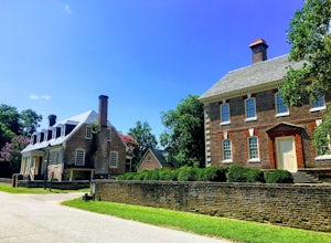
5.02.5 mi / 59 ft gainThis is a fantastic hike through the history of the early United States. And one with many interactive exhibits and recreation opportunities. From the Visitor Center, head onto the path towards the Yorktown Historic District. The historic district begins at the Dudley Digges House. Buildings that...Read more -
Stanley, Virginia
Lewis Falls via Lewis Spring
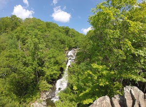
3.01.71 mi / 607 ft gainLewis Spring is the source of Hawksbill Creek which forms Lewis Falls (also known as Lewis Spring Falls) and eventually flows through the town of Luray and joins the Shenandoah River. The waterfall starts with 2 streams before hitting rock halfway down and fanning out. During dry seasons and summ...Read more

