Olga, Washington
Looking for the best photography in Olga? We've got you covered with the top trails, trips, hiking, backpacking, camping and more around Olga. The detailed guides, photos, and reviews are all submitted by the Outbound community.
Top Photography Spots in and near Olga
-
Port Angeles, Washington
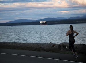
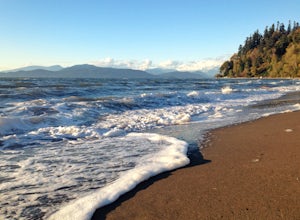
Run Ediz Hook "The Spit"
4.73 mi / 0 ft gainEdiz Hook or as locals call it, "the Spit" is a 3 mile long sand spit that extends out from Port Angeles along the Juan De Fuca. The views of the surrounding mountains and Vancouver Island, the marine life, beaches, and picnic areas make this a prime spot for a memorable run. We parked at the lo...Read more -
Belcarra, British Columbia
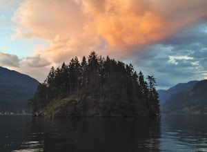
Hike the Jug Island Trail
4.7From the parking lot at Belcarra Regional Park, follow the Jug Island Trail. It is well marked and well walked so it's near impossible to wander off in the wrong direction! The beach near Jug Island is at the very tip of the peninsula and offers beautiful views of the Indian Arm and surrounding m...Read more -
Belcarra, British Columbia
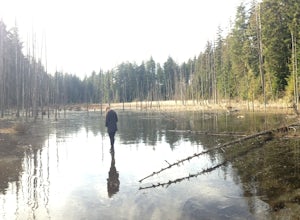
Hike the Springboard Trail and Explore Woodhaven Swamp
5.9 mi / 1312.3 ft gainFrom the parking lot at Woodhaven Swamp, head down the wooden steps to the lower path and then follow the path clockwise, passing over a small boardwalk bridge at the east end of the wetland. At the west side of the swamp, look out for a smaller trail that veers off on the left and follow that as...Read more -
Sooke, British Columbia
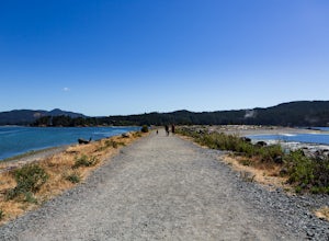
Hike Whiffin Spit
1.5 mi / 0 ft gainLocated in Sooke, between the Sooke Harbour and the Juan de Fuca Strait is Whiffin Spit Park. An easy 2.4km out and back trail with minimal elevation gain that you can walk to the end and back in about an hour. The dog-friendly gravel trail takes you down the spit to the end where you will find a...Read more -
Deming, Washington
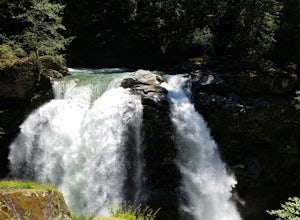
Visit Nooksack Falls
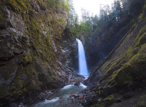
The View. Nooksack Falls is a wonder of a sight, tumbling 88 ft in two segments averaging 50 ft across. A quick stroll from the parking area brings you to the upper or "lower" view, where you can either see the top of the waterfall cascading away from you, or see the whole waterfall. The water...Read more -
Anmore, British Columbia
Backpack the Dilly Dally Loop
15.5 mi / 3800 ft gainThis hike begins near the parking lot of Buntzen Lake. The trailhead will read "Halvor Lunden Trail,” named after the man who made it. This part of the trail is well marked, however as you continue along the loop it gets less and less worn, making things more difficult, but also more natural.The ...Read more -
Vancouver, British Columbia
Explore Wreck Beach
4.0Located on UBC Vancouver campus, Wreck Beach is the only nude beach in Canada. It is a popular destination for students and the public, and is home to the best sunsets seen in Vancouver.To get to the beach, there is a descent of approximately 500 stairs, so be cautious - going down means having t...Read more -
North Vancouver, British Columbia
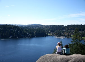
Hike Quarry Rock
3.82.4 mi / 328.1 ft gainDeep Cove is a cozy little town located at the base of Mt. Seymour, lying on the shores of the Indian Arm which is a branch of the Burrard Inlet in North Vancouver. In autumn, the tree-lined streets glow orange in the sunlight and the sailboats, kayakers and paddleboarders fill the harbour with ...Read more -
Anmore, British Columbia
Hike Lake Buntzen
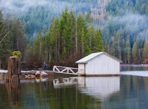
4.5Buntzen Lake is located in a beautiful recreation area just north of Port Moody. Although the lake is man-made and maintained by BC Hydro, the surrounding area is full of forests, nice beach areas, and many trails for hiking including the Buntzen Lake Trail, which loops around the lake.Beginning ...Read more -
Deming, Washington
Bike to Wells Creek Falls
Wells Creek Falls is an incredible waterfall nestled in a tight canyon below Mt. Baker. The falls plunges 93-ft. over a volcanic cliff face and envelops the small amphitheater below in a cloud of mist. From there, Wells Creeks snakes through the canyon and enters Bar Creek on the opposite side of...Read more -
Vancouver, British Columbia
Photograph the Lions Gate Bridge
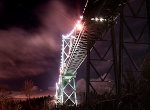
3.7Park at the parking lot at Prospect point in Stanley Park to begin your photography adventure. The first photo opp is from the walkway on the Lions Gate, at about the middle of the bridge and looking to the left towards the Seawall. This is the perfect sunset spot.Once it gets dark, head to the b...Read more -
Maple Ridge, British Columbia
Hiking Golden Ears Trail
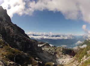
14.9 mi / 4921.3 ft gainGolden Ears is well known to those in the Lower Mainland. After staring at the jagged 'ears' from all angle, I finally got to see them up close and in-person. The West Canyon Trail is a gentle 5.5 kilometers on a well groomed path, lined with deciduous trees making it a perfect place to watch the...Read more -
Maple Ridge, British Columbia
Camp in Golden Ears Provincial Park
11.2 mi / 3937 ft gainBackcountry permits are required to camp on Panorama Ridge ($5) and can be paid online.The trailhead is located at the West Canyon Parking lot. The trail starts out on a relatively flat old logging road. The trail slowly gains elevation over three kilometers taking you through thick green forest ...Read more -
Maple Ridge, British Columbia
Summit Golden Ears
4.514.9 mi / 5039.4 ft gainDay 1 Starting from the Golden Ears parking lot, your journey begins up a relatively small incline passing two bridges and entering the forest. Continue through the forest passing small cliffs and revealing some views of what you are going to climb the next day. Your estimated time it should take...Read more -
Maple Ridge, British Columbia
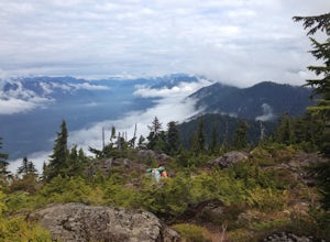
Hike to Alder Flats in Golden Ears Provincial Park
4.06.8 mi / 918.6 ft gainIf you're looking for a challenge and hope to get into the mountains this is a great adventure to set out on.Be prepared: Water, a lot of time, and with an understanding of the elevation gain will be important. This hike to the viewpoint of Alder Flats (overlooking the ears) takes around 2 hours ...Read more -
North Vancouver, British Columbia
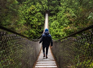
Explore the Lynn Canyon Suspension Bridge
4.4Lynn Canyon Suspension Bridge spans Lynn Canyon and is located near the popular Lynn Headwaters Park. To get there, exit the Trans Canada Highway onto Lynn Valley Road. Shortly after passing through the centre of the Lynn Valley community, turn right onto Peters Rd. This road will turn into "P...Read more

