Kananaskis, Alberta
Looking for the best hiking in Kananaskis? We've got you covered with the top trails, trips, hiking, backpacking, camping and more around Kananaskis. The detailed guides, photos, and reviews are all submitted by the Outbound community.
Top Hiking Spots in and near Kananaskis
-
Kananaskis, Alberta
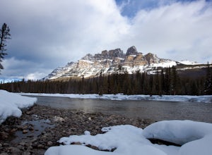
Snowshoe Mount Tyrwhitt
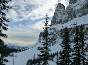
1.05.6 mi / 2132.5 ft gainDescribing snowshoeing trails is always a bit difficult, but luckily the way up Mount Tyrwhitt gets used heavily by people going to Pocaterra Cirque - first thing to remember is to take the first fork off the main trail to the left after you cross the bridge.Even if the trail is snow covered and ...Read more -
Kananaskis, Alberta
Hike to Little Arethusa
2.8 mi / 2034.1 ft gainUnfortunately, pictures of larches in autumn never actually do them justice. It's worth it to go out and experience them for yourself. This hike is pretty scenic for the short distance it is, but my favourite part is that you get to be up close and personal with the larches as the forest is bathe...Read more -
Improvement District No. 9, Alberta
Snowshoe to Rockbound Lake
3.011 mi / 2460 ft gainThis is an amazing trail, but not for the feint of heart!The trailhead is located on the Bow Valley Parkway (Highway 1A) in Banff National Park, AB at the Castle Mountain sign. The trailhead is marked by an information sign in the north of the parking lot and the trail initially heads north - not...Read more -
Improvement District No. 9, Alberta
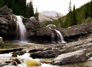
Hike to Silverton Falls
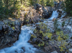
1.2 mi / 120 ft gainStarting at the Rockbound Lake trailhead you will want to follow the flat dirt path straight, until you see the junction in the road with the sign pointing you to Silverton Falls (it will be about 500 steps or a quarter of a mile). We made the mistake of taking the first junction which lead us to...Read more -
Improvement District No. 9, Alberta
Snowshoe to Silverton Falls and Rockbound Lake
10.4 mi / 2493.4 ft gainPark at Rockbound Lake Trailhead, 0.2 km east of Castle Junction on Bow Valley Parkway (Highway 1A).The trail wanders through forest until coming to a fork to the right, leading to SilvertonFalls. This is a worthwhile 1 km side trip to a beautiful small waterfall dropping into a turquoise blue po...Read more -
Turner Valley, Alberta
Hike Junction Creek to Junction Falls
4.09.2 miJunction creek is a tributary that flows into the larger Sheep River near Eden, Alberta with many cool and uncrowded waterfalls. Once you start at the trailhead there is a river crossing of the Sheep River. This can deter a lot of people as the water can be fast and quite cold. When we went it w...Read more -
Turner Valley, Alberta
Mist Mountain Scramble
4.5This is a pretty big objective, but doesn't feature any technical climbing, so anyone who keeps a clear head and can put one foot in front of the other can do it.Mist Mountain is located in Highwood Pass - whose highway is only open between June and December, so scheduling Mist Mountain as a big ...Read more -
East Kootenay G, British Columbia
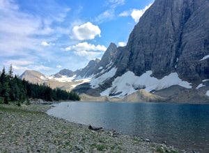
Hike The Floe Lake Trail
13 mi / 2350 ft gainKootenay National Park is one of the lesser visited parks in a chain of spectacular parks in the Canadian Rockies between Banff and Jasper. Straddling the Trans-Canadian Highway, the park offers hot springs, awesome mountain views, and glaciers. As you enter the park, keep an eye out for the griz...Read more -
Improvement District No. 9, Alberta
Hike to Boom Lake
4.06.2 miBoom Lake offers amazing views of Boom Mountain and the ridge separating Alberta and British Columbia. It is not as popular as many other hikes in the area, which means exclusion for anyone willing to explore the lake. The abundant wildlife in the area includes wolves, bears, mountain goats, de...Read more -
Longview, Alberta
Backpack to Pickle Jar Lakes
4.05 mi / 1328.7 ft gainPark in the Lantern Creek Recreation Area across the street from the trailhead. Highway #40 is closed at the Upper Lakes and Highwood House Junction from Dec 1st to June 14th for wildlife preservation, so you will have to plan your trip here accordingly. Once you cross the street you will see the...Read more -
East Kootenay G, British Columbia
Hiking in Marble Canyon
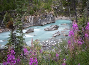
1.2 miMarble Canyon is easily accessible off of the 93S in Kootenay National Park between Banff and Radium.This is a really beautiful area and a nice easy walk for the family with some beautiful scenery to go along with it. Make a visit here in August when the the Fireweed is at its prime, lining the f...Read more -
East Kootenay G, British Columbia
Backpack the Rockwall Trail
68 mi / 8530 ft gainThe Rockwall trail is a famous 3-5 day trek in Kootenay National Park. We started from the North and camped at Helmet Falls our first night, and then continued south and exited out Floe Lake. I would recommend this direction for a backpack, and the opposite direction for a trail run (it's about ...Read more -
Clearwater County, Alberta
Hike Maze Peak
4.05.3 mi / 2624.7 ft gainThere's not much of a trailhead for Maze Peak - in fact there isn't a trailhead at all. Bring up the start location from this post and pull over on the side of the dirt road once you get to it! The hardest part about this trail is just kind of finding it, really. The good news is that you're goin...Read more -
Improvement District No. 9, Alberta
Climb the Grand Sentinel
8.6 mi / 3612.2 ft gainThe Grand Sentinel has two routs on it. While it is hard to access it is a modern classic with bolted anchors, and Cardia Arete is a Sport climbing route. While I could offer my take on this classic, Chris Perry' Banff Rock is a far better resource than I. To access the climb park at Moraine Lak...Read more -
Improvement District No. 9, Alberta
Eiffel Lake via Valley of Ten Peaks
5.07.35 mi / 1647 ft gainHike with amazing views of Valley of Ten Peaks, including Mount Fay (10,613 ft), Mount Little (10,131 ft), Deltaform Mountain (11,234 ft), and Wenkchemna Peak (10,401 ft) to two breathtaking glacial lakes in the heart of the Continental Divide. From the lake, the trail is quite easy to follow, a...Read more -
Improvement District No. 9, Alberta
Hike to Consolation Lakes
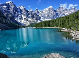
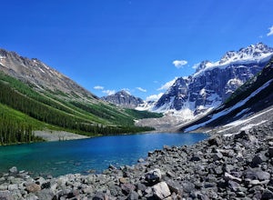
4.03.7 mi / 196.9 ft gainOnce at Moraine Lake, the directions to Consolation Lakes are quite clear. From the parking lot, head northeast past the rockpile, which provides fantastic views of Moraine, then follow the Consolation Lakes Trail for another 2.9 km (1.8 miles) past Taylor Lake until you reach the lake. Depending...Read more

